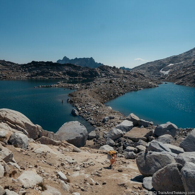
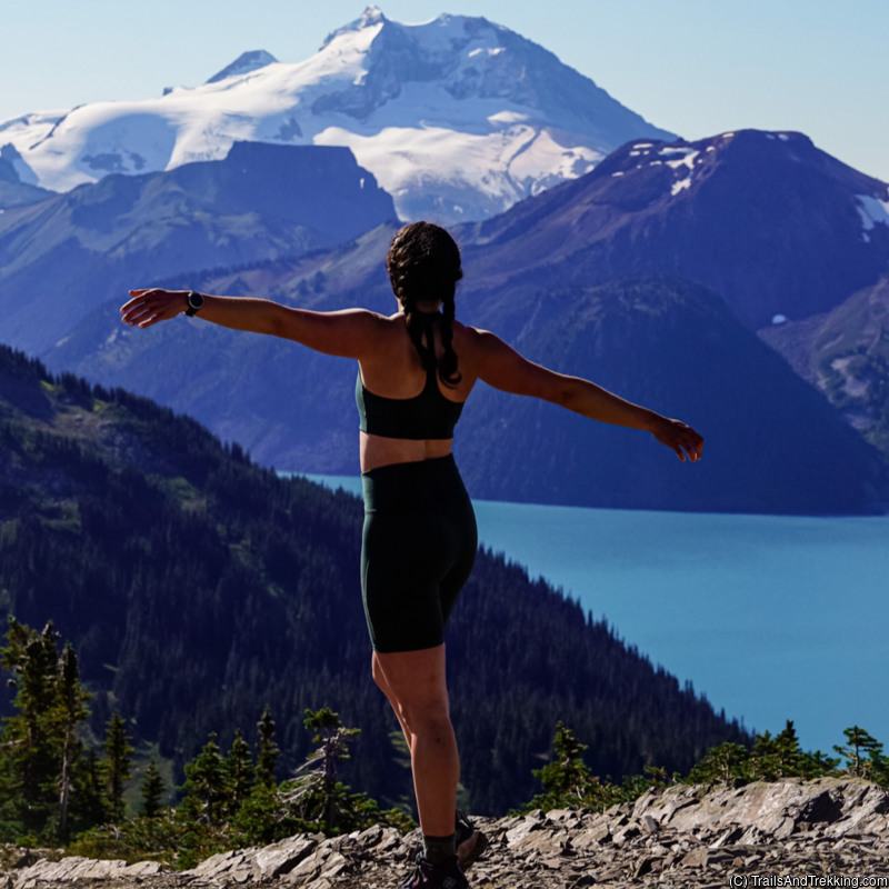
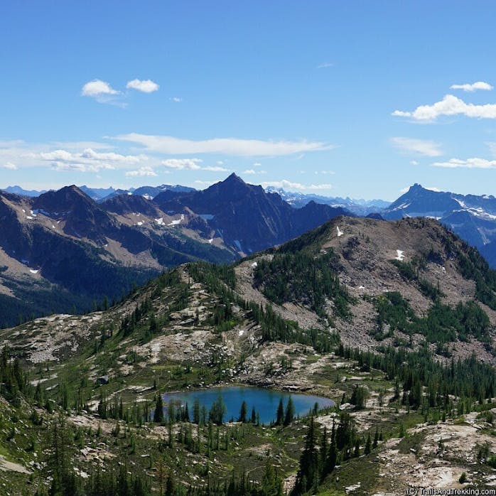
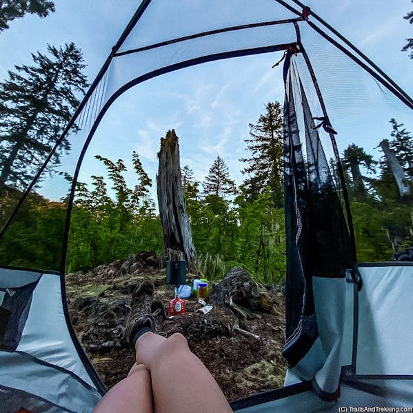
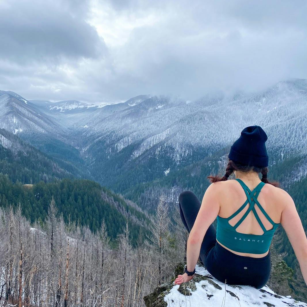
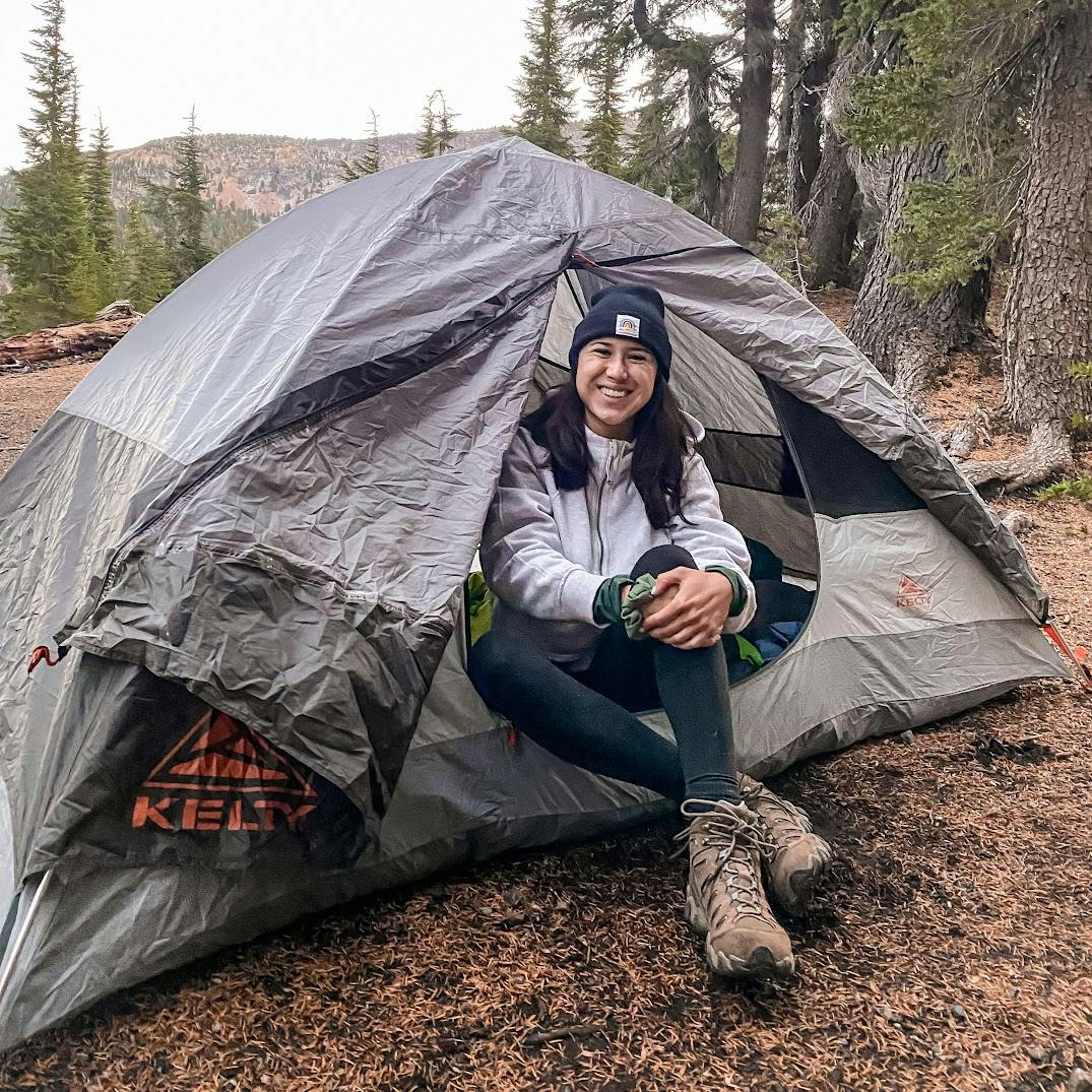
Check out some of the best hikes near Portland with this list of amazing, easy-to-moderate difficulty hikes.
This is by no means an exhaustive list (there's just too many great hikes around!), but we tried to pick our favorites!
Angel's Rest
LENGTH
4.7 miles round-trip
ELEVATION
1,500 feet
DIFFICULTY
Moderate
SEASON
Spring, summer, and fall
PERMITS
none
TRAILHEAD
Angel's Rest is a beautiful, beloved, out-and-back trail very close to Portland. On this trail, you'll swiftly climb to the summit of Angel's Rest, a rocky outcropping with a stunning Columbia River overlook. On clear days you can see down the river to the downtown skyscrapers, miles away.

Angel's Rest is a popular trail, so expect crowds on weekends/holidays, and competitive parking during peak season.
Angel's Rest is also a popular sunset hike, with the sun dipping behind the river as it disappears to the west. If you plan to view the sunset here, give yourself plenty of time to reach the top, and bring your headlamp for the hike down.

Wahkeena Falls to Multnomah Falls Loop
LENGTH
6 mile loop
ELEVATION
1,700 feet
DIFFICULTY
Moderate
SEASON
Spring, summer, and fall
PERMITS
TRAILHEAD
A classic loop hike with six different waterfalls, you'll be amazed by the towering 627 ft. Multnomah Falls, and the 5 other waterfalls along the way.
The Wahkeena/Multnomah waterfall loop can be started at Multnomah Falls or Wahkeena Falls, and hiked in either direction. There is a short connector trail between Multnomah and Wahkeena falls that joins the two trailheads.
I suggest starting your hike at Wahkeena, and hiking counter-clockwise. This route has you pass Multnomah Falls on the back half of your hike.

A permit is required to park at Multnomah Falls May 26th through September 4th.
This trail is best hiked outside of peak season to avoid intense crowding at Multnomah Falls, as well as along the waterfall corridor.

Dog Mountain
LENGTH
6.8 mile loop
ELEVATION
2,700 feet
DIFFICULTY
Moderate
SEASON
Spring, summer, and fall
PERMITS
TRAILHEAD
The Dog Mountain Trailhead is just off Highway 14 on the Washington side of the Columbia, a 1 hour drive from Portland. Dog Mountain is the steepest hike on this list, gaining over 2,700 feet for its duration.

Hamilton Mountain
LENGTH
7 miles round-trip
ELEVATION
2,000 feet
DIFFICULTY
Moderate
SEASON
Spring, summer, and fall
PERMITS
Discover Pass
TRAILHEAD
Hamilton Mountain is one of my top gorge hikes, complete with sweeping views, wildflowers, and waterfalls. View tumbling Rodney Falls and the Pool of the Winds on the climb up.
Above the falls, the trail opens up from tree cover as it ascends Hamilton Mountain, where the trail is interspersed spring wildflowers.

After reaching the summit, considering extending your hike another 1/2 mile farther to reach the Saddle, a broad viewpoint of the gorge that is (in my opinion) much more beautiful that the peak. We've hiked to the saddle many times throughout the seasons, but winter was the most beautiful. The ice and snow, however, were not that fun to deal with!

Make this trail a 9+ mile loop by hiking beyond the Saddle on the equestrian trail. The equestrian trail eventually connects with the Hamilton Mountain trail near the Pool of the Winds.

Latourell Falls
LENGTH
2.4 mile loop
ELEVATION
650 feet
DIFFICULTY
Easy
SEASON
Year-round
PERMITS
none
TRAILHEAD
Near Portland, Latourell Falls is a breathtaking waterfall hike that can be easily looped with Upper Latourell Falls. The lower waterfall is in view of the trailhead, with trails looping around it. Do the whole 2.4 mile loop to see the upper viewpoint and the very pretty Upper Latourell Falls.

The last time we hiked this, it was immediately after a winter storm and the falls were decked out in ice and snow. If hiking in winter, microspikes may be required depending on the current snow and ice.

Note that it is extremely difficult to find parking at Latourell Falls on summer weekends. I strongly suggest hiking out of season or mid-week for the best experience.
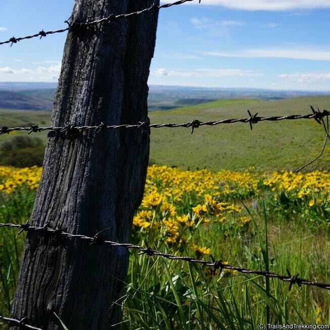
Coyote Wall Loop
LENGTH
7 mile loop
ELEVATION
1,700 feet
DIFFICULTY
Moderate
SEASON
Spring
PERMITS
none
TRAILHEAD
Coyote Wall is a popular loop hike for viewing spring wildflowers that's 1 hour 45 minute from Portland by car.
This is a fun hike even when its not wildflower season, but during spring it becomes absolutely astounding.
On clear, sunny days, you'll get a spectacular view of the Columbia River Gorge and Mt. Hood.
The Coyote Wall loop starts out on a closed road before climbing through a rocky trail section with small waterfalls known as the Labyrinth. After hiking through the Labyrinth, the trail traverses back through flower-filled meadows on its return to the trailhead.
The Coyote Wall loop starts out on a closed road before climbing through a rocky trail section with small waterfalls known as the Labyrinth. After hiking through the Labyrinth, the trail traverses back through flower-filled meadows on its return to the trailhead.

The latter section of the loop near Coyote Wall (an impressive cliff by the trailhead) is where you'll see the most wildflowers.
If you've timed your trip just right, the grassy slopes will be carpeted with colorful flowers of many varieties.
I've linked the trailhead and parking below. Plan to arrive early on weekends, when cars overflow onto the highway by late morning.
I've linked the trailhead and parking below. Plan to arrive early on weekends, when cars overflow onto the highway by late morning.


Lyle Cherry Orchard
A 5 mile out-and-back, be wary of thick poison oak on this hike. However, if you can navigate around the poison oak, you'll be rewarded with a gorgeous flower display at the top. Lyle Cherry Orchard is less popular than the other hikes on this list, so you may find less people here on busy days.The Trailhead is just east of the town of Lyle, on a small pull-off of Washington Highway 14.

Fall Creek Falls
LENGTH
6.1 mile loop
ELEVATION
1,200 feet
DIFFICULTY
Moderate
SEASON
Spring, summer, and fall
PERMITS
none
TRAILHEAD
One of my favorite waterfall hikes near Portland, don't miss out on the beautiful Fall Creek Falls. Visiting the falls after recent rains is a tremendous experience, and astoundingly beautiful.
The forested hike to the falls follows a creek, crossing small bridges. This hike can be looped or made a shorter out-and-back to and from the falls.

The access road to Fall Creek Falls Trailhead is rough and potholed, but drivable enough that any passenger car can make it. This road is closed during the winter, but you may park at the gate and walk to the trailhead adding around 3 miles round-trip.
If you're in the area and have extra time, I recommend checking out Panther Creek Falls. It's a 1/2 mile round-trip and extremely rewarding: Panther Creek Falls is one of the most beautiful waterfalls in the area.

Silver Star
LENGTH
6.8 miles round-trip
ELEVATION
2,050 feet
DIFFICULTY
Moderate
SEASON
Summer through fall
PERMITS
Discover Pass
TRAILHEAD
The first time I hiked Silver Star, I was absolutely blown away by the breathtaking mountain views near the summit. I highly, highly recommend this hike if you live near Portland: The ascent of Silver Star is steep, but it's oh-so-worth it.

Try to arrange a clear day for this hike so you have the best views from the summit. Mount St. Helens, Adams, Rainier, and Hood are all within view at the peak.
The access road is unpaved, rocky, and potholed, but is overall doable by passenger cars. I was able to reach the trailhead without difficulty in a low clearance Mazda3 sedan.
Ramona Falls
LENGTH
7.2 mile loop
ELEVATION
1,000 feet
DIFFICULTY
Moderate
SEASON
Summer through fall
PERMITS
Northwest Forest Pass
TRAILHEAD
Ramona Falls is a major waterfall attraction near Mt. Hood off Lolo Pass Road, within a reasonably short drive from Portland. By mid-summer, crowds flock to visit the stunning waterfall.

The roughly 7-mile loop trail is relatively flat, easy hiking on a somewhat sandy trail. However, be aware that there is no bridge for the Sandy River crossing near the trailhead. Some minor balancing skills are required to traverse fallen logs spanning the river, or wade across.
Cloud Cap to Cooper Spur
LENGTH
7 miles round-trip
ELEVATION
2,800 feet
DIFFICULTY
Moderate
SEASON
Mid-summer to early fall
PERMITS
Northwest Forest Pass
TRAILHEAD
Beginning at the historic Cloud Cap Inn on the east slopes of Mt. Hood, the Cooper Spur hike steeply climbs the moraine for a spectacular view of Eliot Glacier. Note that the Cloud Cap Inn is closed to the public, but you may freely explore its grounds.

The Cooper Spur hike is all uphill, and can be crowded on summer weekends. Because of the elevation (Cooper Spur is at 8,510 feet), save this hike for later in the summer to avoid any lingering snow.
The trailhead is about 2 hours from portland, including 8.8 miles of gravel to Cloud Cap Inn. This last stretch of road is bumpy and roughly graded, but passable for most vehicles. If you're interested in camping, The Cloud Cap Saddle campground is right at the trailhead. This is a small, first-come, first-served campground without many amenities.

Timberline Lodge to ZigZag Canyon
LENGTH
5 miles round-trip
ELEVATION
900 feet
DIFFICULTY
Moderate
SEASON
Summer through fall
PERMITS
none
TRAILHEAD
Timberline Lodge is a favorite starting point for the Timberline Trail, a portion of which you'll hike on the way to ZigZag canyon. Best hiked from July to September, expect wildflowers and mountain views on this shorter, stunning hike.
If its your first time hiking at Timberline Lodge, it can be a bit confusing to find trail's starting point. The way to ZigZag canyon is on the west side of the lot (left as you face Mt. Hood). There are many small footpaths that lead out of the parking lot, and these trails coalesce into the Timberline Trail.
If you want to extend your hike, consider continuing on the Timberline Trail to Paradise Park. This will increase your total distance to around 10 miles, but Paradise Park is a haven of wildflowers in mid-summer, the best you can find on Mt. Hood.

Elk Flats to Cape Falcon
LENGTH
7 miles round-trip
ELEVATION
2,000 feet
DIFFICULTY
Moderate
SEASON
Year-round
PERMITS
none
TRAILHEAD
Located on the northern Oregon Coast, this hike is a combination of the Elk Flats hike and the Cape Falcon hike. The hikes are joined by a connector trail from Elk Flats to Short Sands beach, where the Cape Falcon trail starts. Depending on how you chose to hike this, you can do Elk Flats, Cape Falcon, or both!

Starting at Elk Flats, the hike follows the rugged coastline, dipping into the trees before arriving at Short Sands beach. From Short Sands, you'll hike uphill to Cape Falcon for a panoramic view of the Oregon coast.

Trail of Ten Falls, Silver Falls State Park
LENGTH
8 mile loop
ELEVATION
1,200 feet
DIFFICULTY
Moderate
SEASON
Spring, summer, and fall
PERMITS
$5 park fee payable at trailhead
TRAILHEAD
Known as the Crown Jewel of the Oregon State Parks system, the Trail of Ten Falls at Silver Falls is the absolute best waterfall hike in Oregon.

There are ten major waterfalls on this trail, each notable in their own way. The trail cuts behind several of this falls, allowing you to walk behind the water for a surreal experience.

Begin the trail at the South Falls Lodge, hiking clockwise. This starts you at South Falls, the most majestic of the waterfalls in the park.
After recent rainstorms, the already large waterfalls grow even more tremendous. The best time to hike Silver Falls is during the spring, when the waterfalls are huge and the crowds are small(er).
What To Pack Hiking
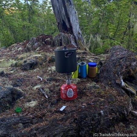
This is the gear I personally use for every day hike, having tested it over thousands of miles and multiple years.Hiking Essentials
For all but the shortest of day hikes, I bring my daypack, food & water, sturdy boots, and my cute bear socks.- Spacious daypack
- Waterproof hiking boots
- Merrell Hiking boots
- Cute and comfy bear socks
- Water Bottle(s) - always bring plenty of water, event for short hikes.
- First Aid Kit

Trail Food
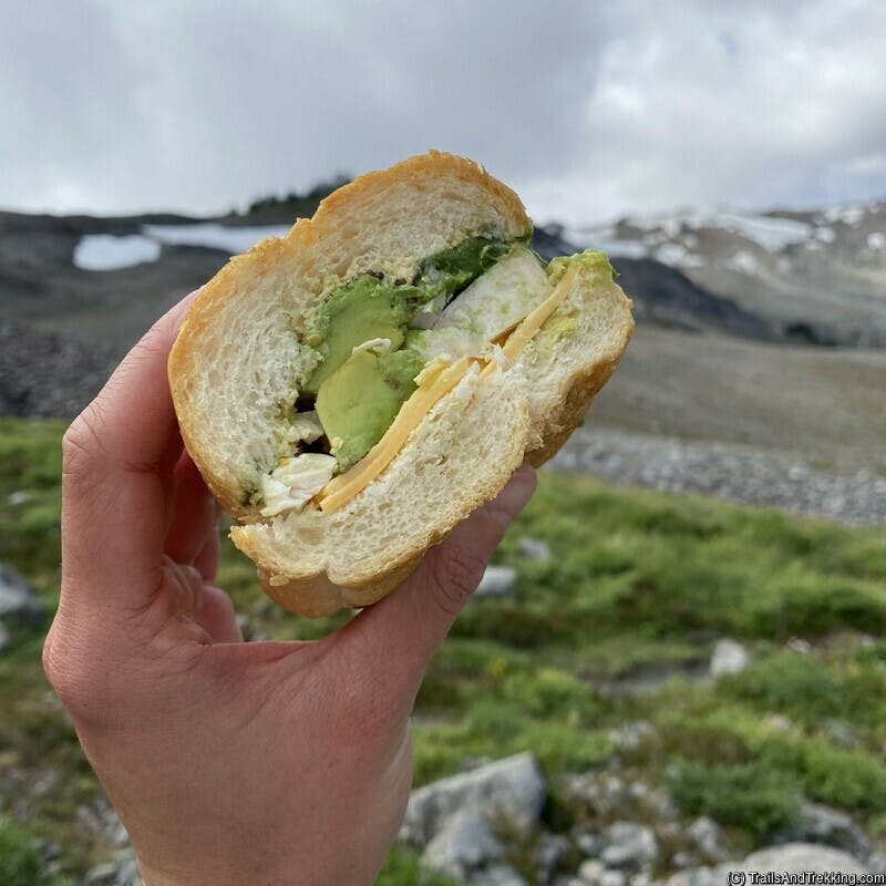
On any hike longer than 1-2 hours, I'm packing snacks, lunch, and extras - Being active and outdoors consumes a lot of calories. Most importantly what you like to eat, and enough of it to keep you fueled throughout the day. Always pack more food and water than you think you'll need.My favorites for the trail:
- Homemade Sandwiches
- Fresh or dried fruit
- Bars, muffins, baked goods
- Nuts, crackers, chips, jerky, and other salty food
- Plenty of chocolate and sweets
Water Filter System
For longer day hikes, it's a game changer to bring your water filtration system. Having a reliable water filter
will let you stay out longer, and pack less water, reducing your pack weight.
On any day hike over 8 miles, I bring my filter system to refill throughout the day. While there are many ways to filter water, I prefer squeeze bottles with screw top filters for their ease-of-use and rapid filtering.
On any day hike over 8 miles, I bring my filter system to refill throughout the day. While there are many ways to filter water, I prefer squeeze bottles with screw top filters for their ease-of-use and rapid filtering.
Insect Repellent and Relief
In areas with high bug populations, packing an effective repellent is absolutely critical.
When using DEET, apply it thoroughly to your skin and clothing, avoiding your mouth and eyes.
Covering exposed skin is also an effective way to prevent bug bites. Thick long sleeve shirts, pants, and mesh netted hats with full head cover can be as effective or better at stopping bugs from bothering you.
Covering exposed skin is also an effective way to prevent bug bites. Thick long sleeve shirts, pants, and mesh netted hats with full head cover can be as effective or better at stopping bugs from bothering you.
Pack accordingly to the hike and current conditions. If you're tackling a rugged, steep trail, bring sturdy shoes with plenty of tread.
If the weather forcast is cold, or there's potential for precipitation, throw in some extra layers and suitable raingear. Or, if its hot and sunny,
make sure you have extra water, electrolytes, and sunscreen.
Still have questions? Send me a message over email to connect. Happy Trails!